Saluda Shoals Riverwalk
Saluda Shoals Riverwalk Grand Opening
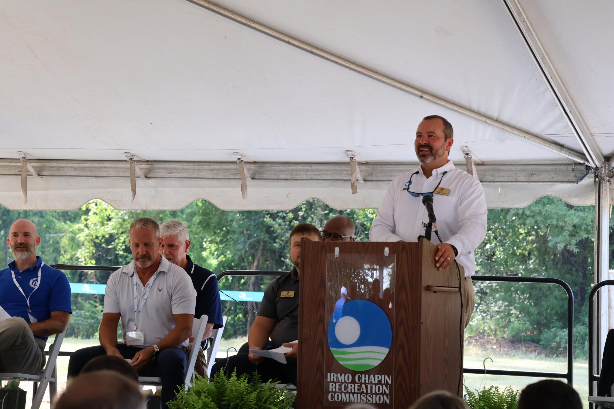
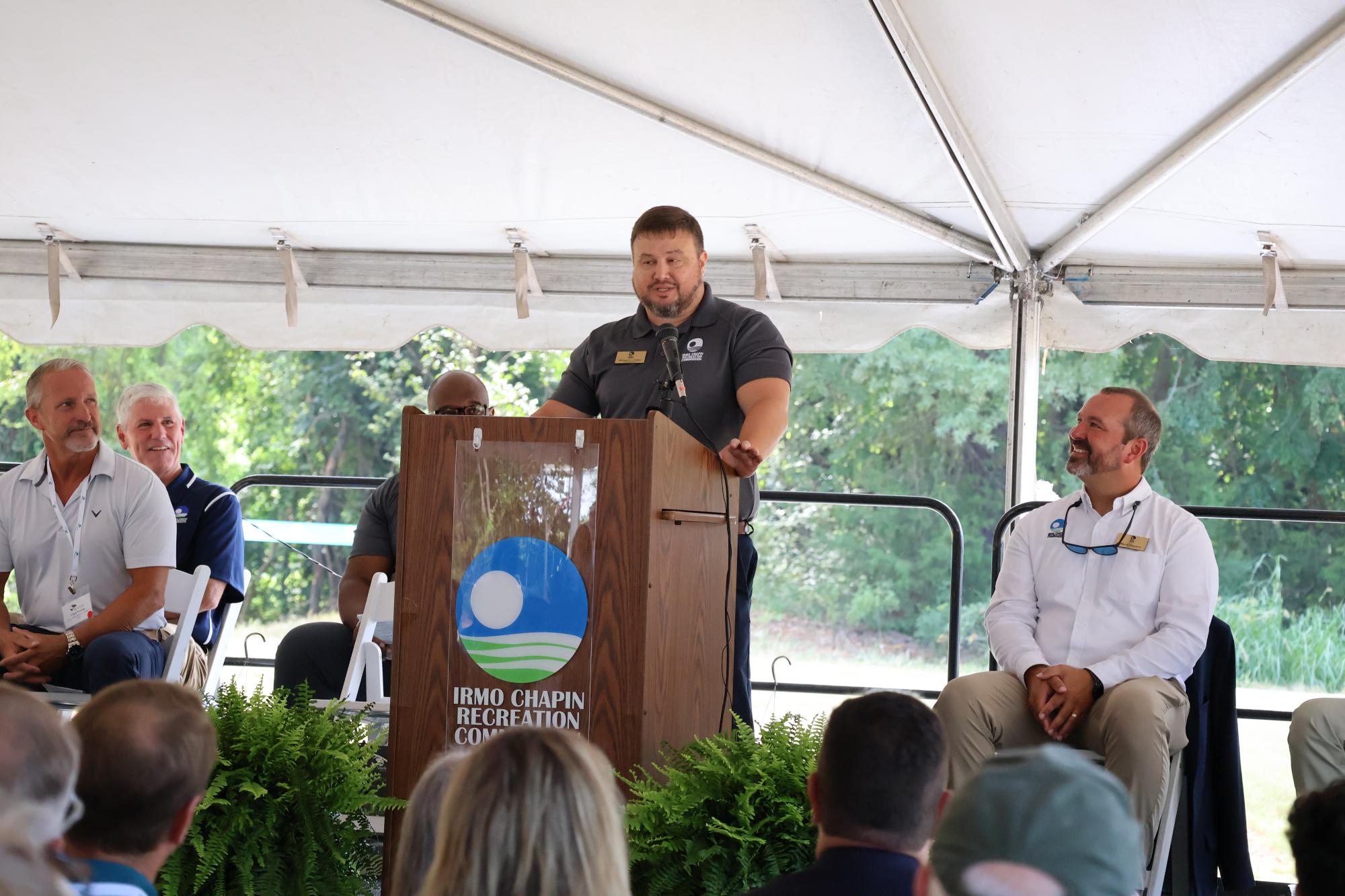
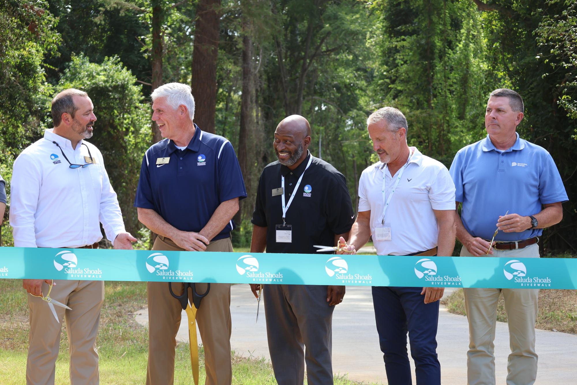
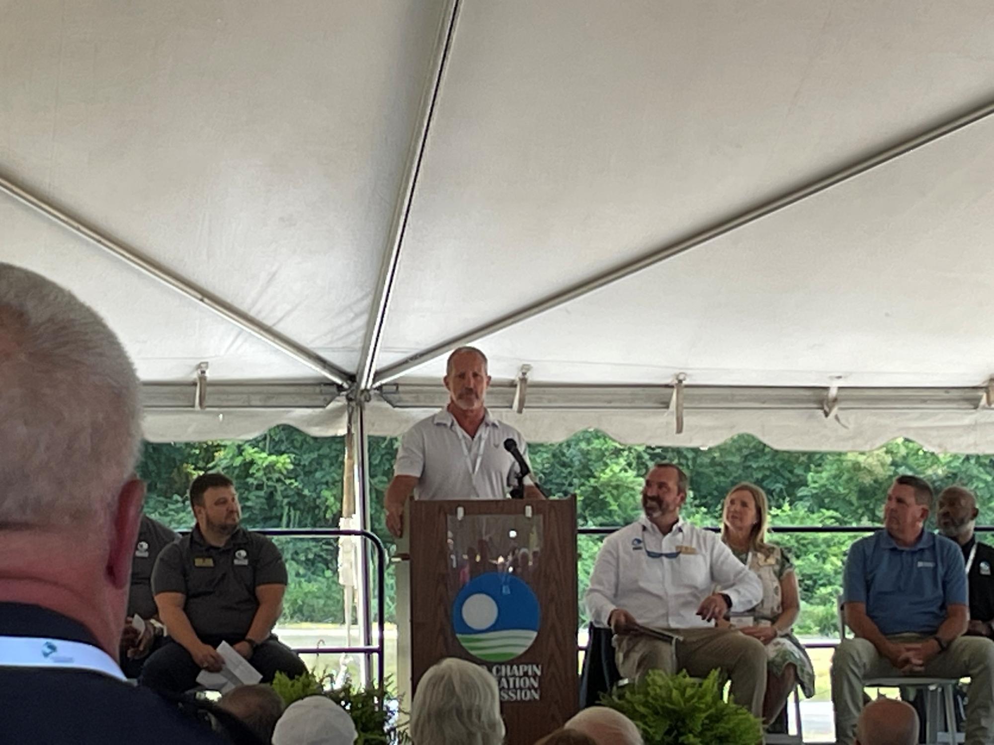
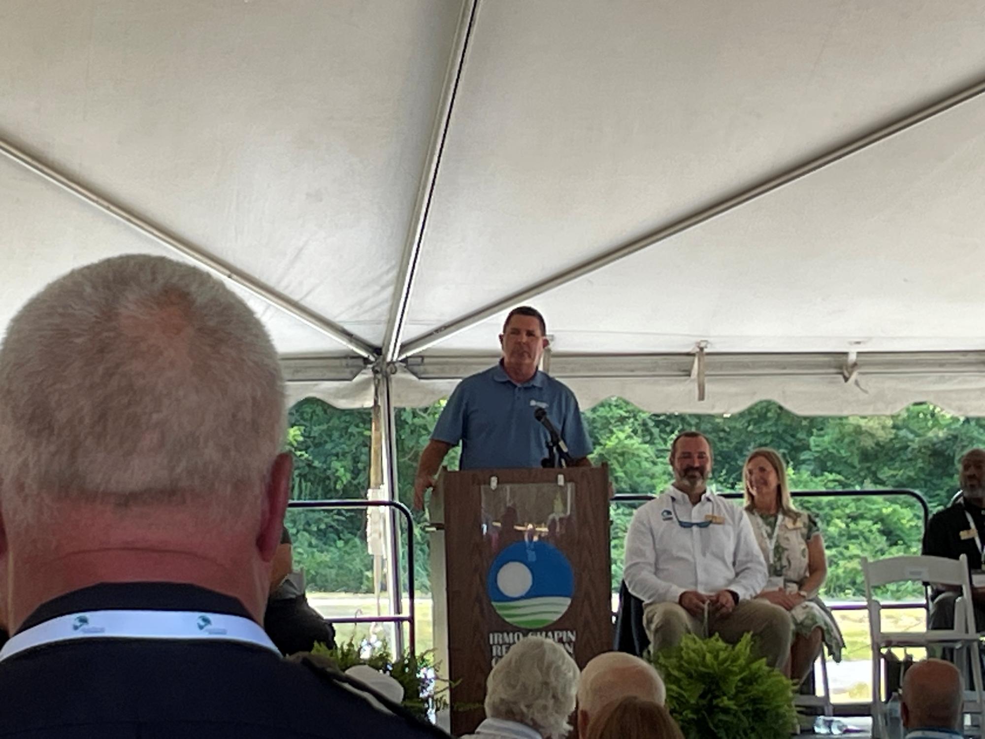
A grand opening ceremony for Phase 1 of the Saluda Shoals Riverwalk will take place on Wednesday, August 19, 2026 at 10:00 a.m., at Dreher Shoals Landing, 6181 Bush River Road, Columbia, SC.
Beginning at 12:00 p.m. on Wednesday, August 19 the trail will be open to the public.
Grand Opening Press Release (PDF, 155.53 KB)
Saluda Shoals Riverwalk at Dreher Shoals Landing
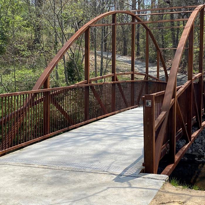
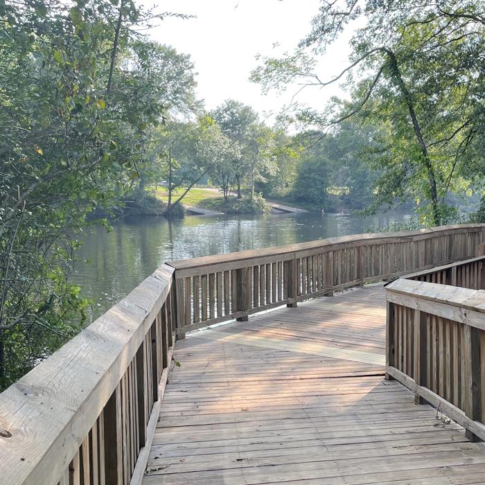
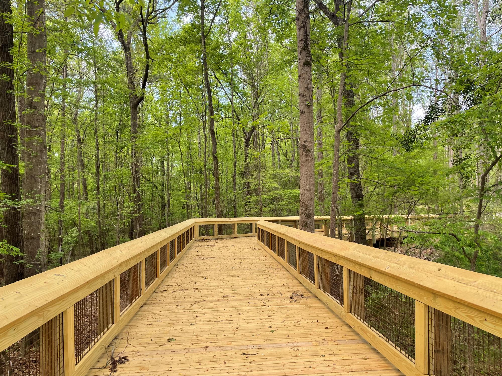
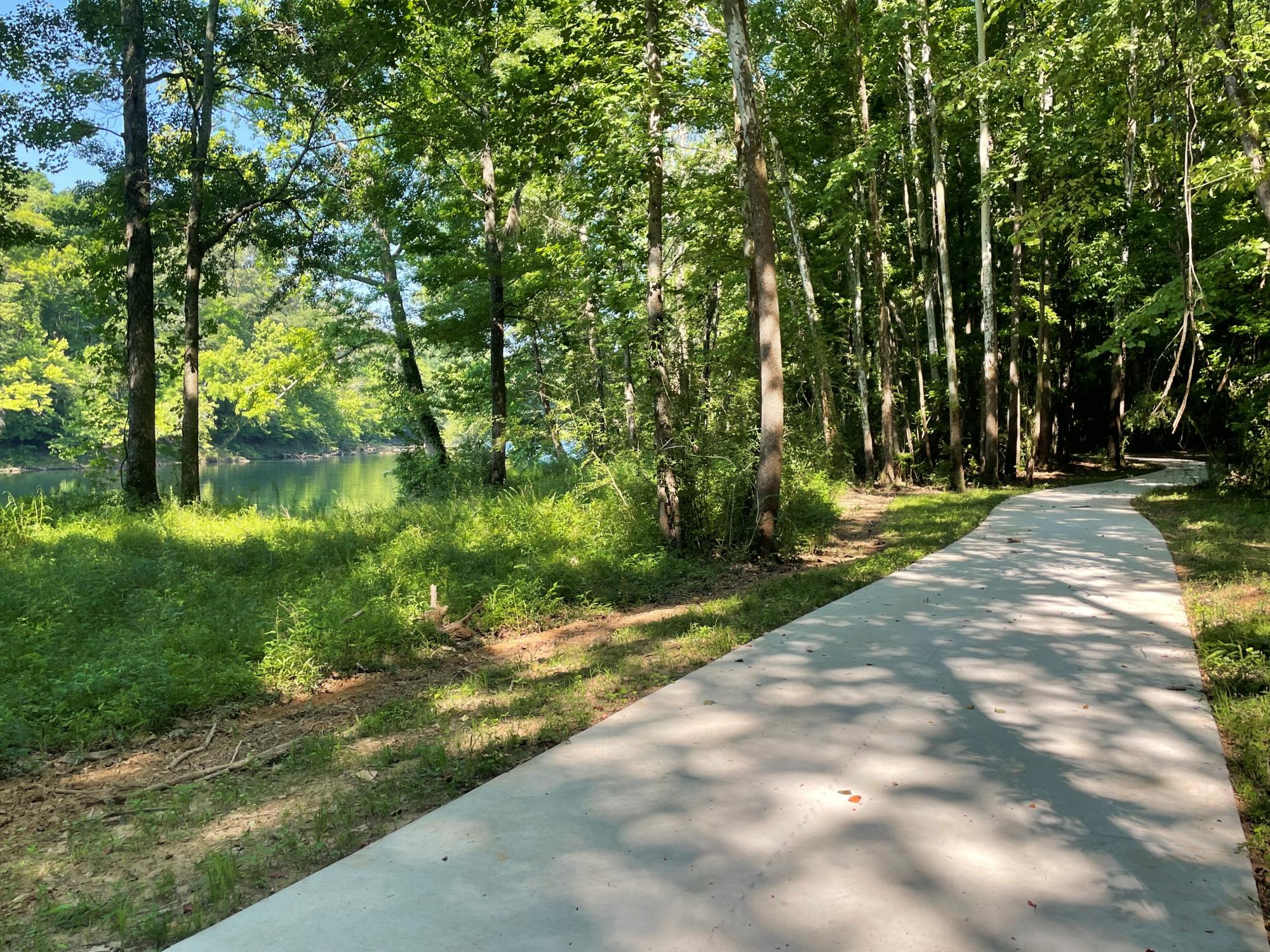
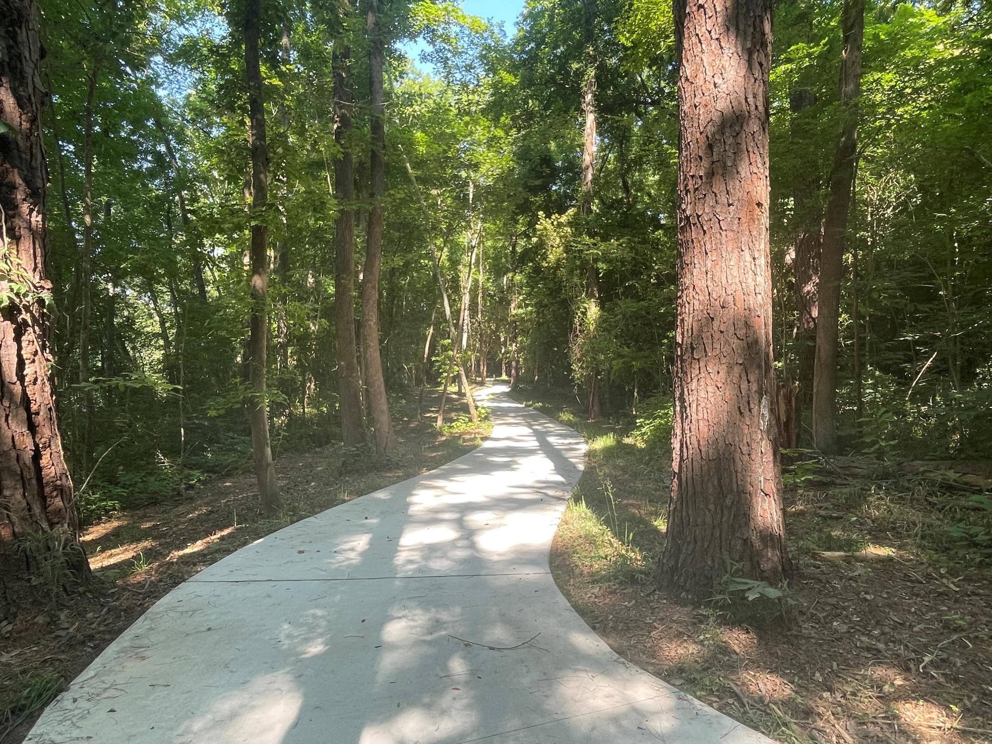
- 2.5 miles of paved trail and boardwalk along the north bank of the Saluda River.
- Phase One of the Saluda Shoals Riverwalk begins at Dreher Shoals Dam on Lake Murray, follows Bush River Road, and winds toward the Saluda River before reaching Saluda Shoals Park. From there, the trail continues for approximately three miles through the park. Phase two of the project will extend the Riverwalk from Saluda Shoals Park to Gardendale Landing.
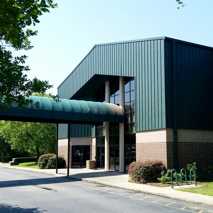
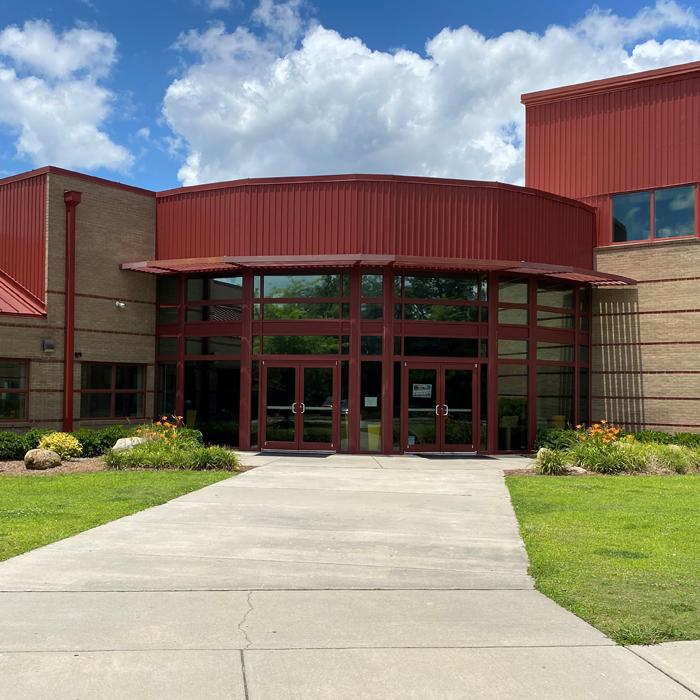
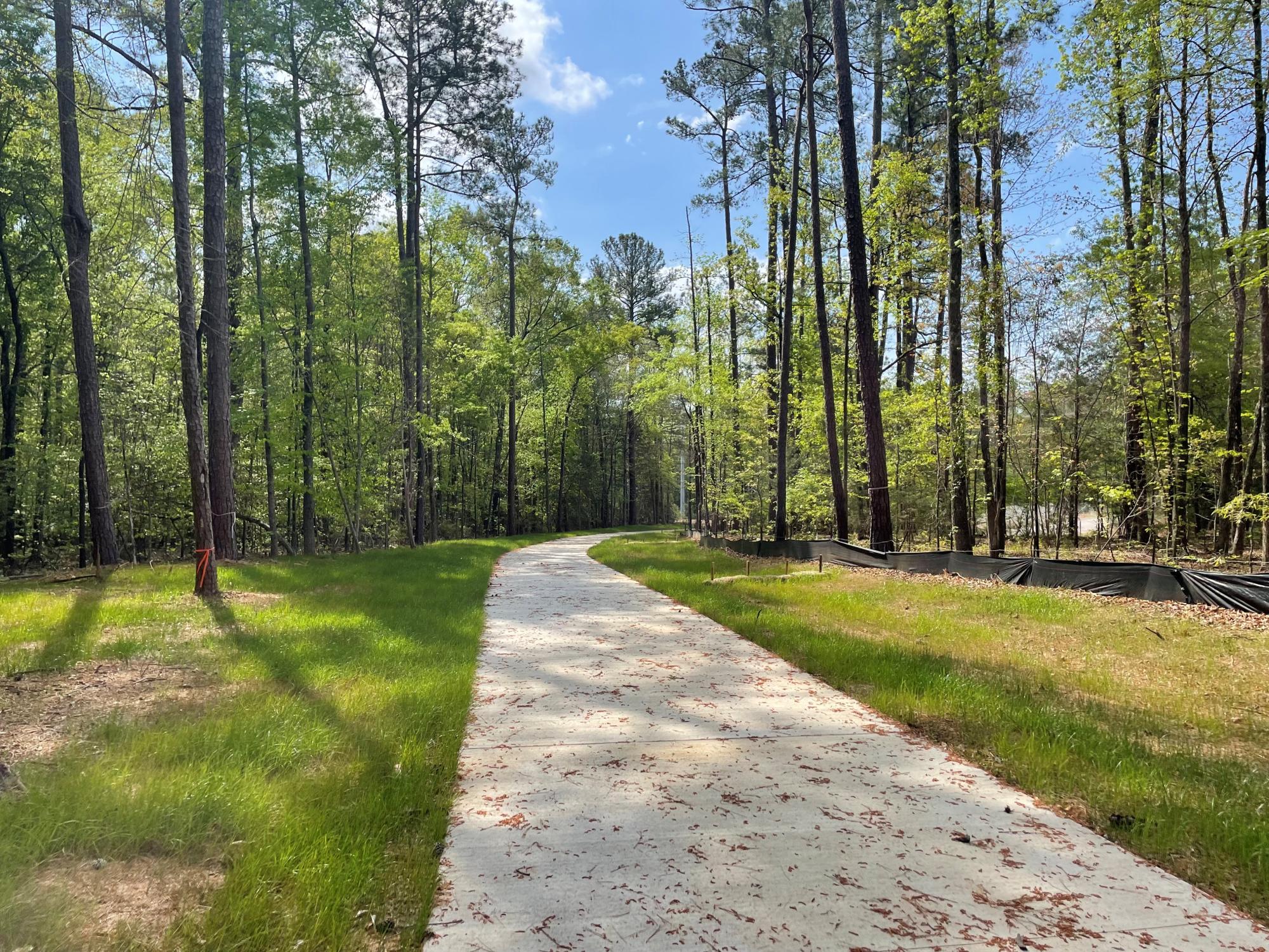
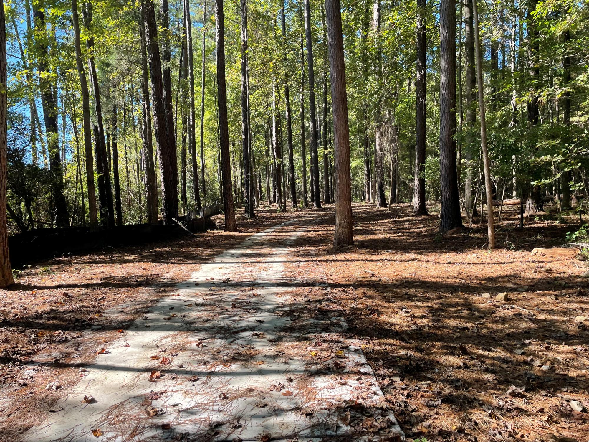
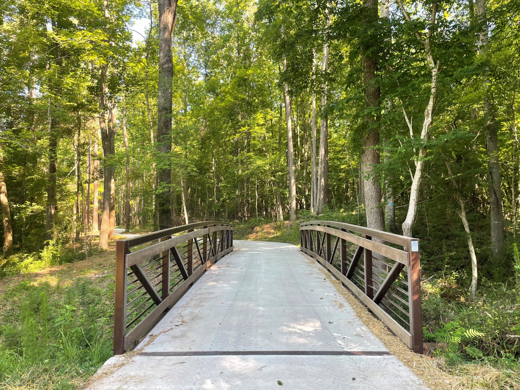
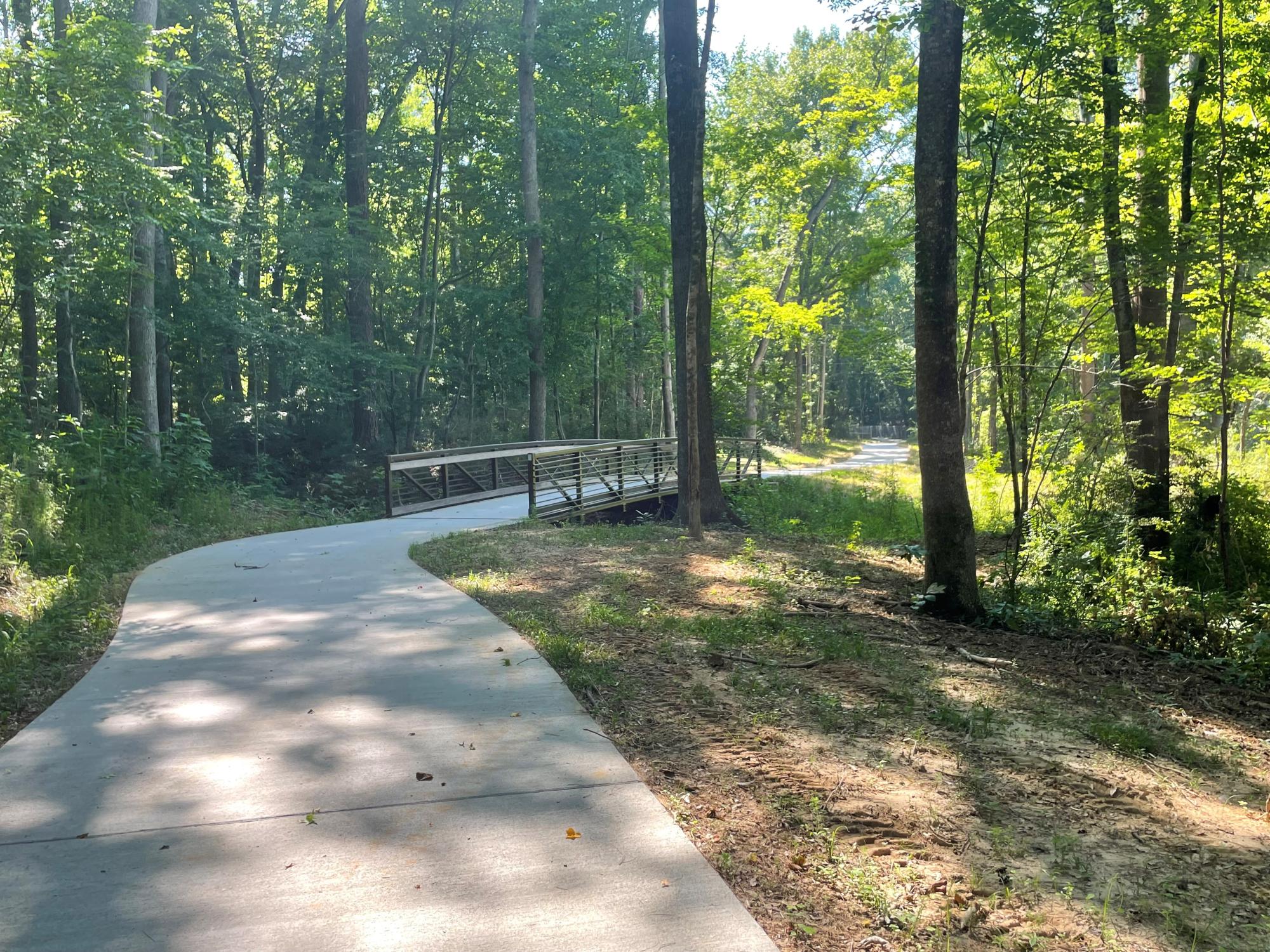
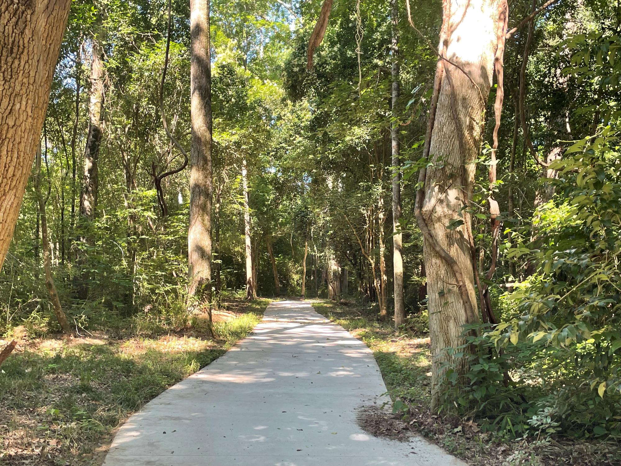
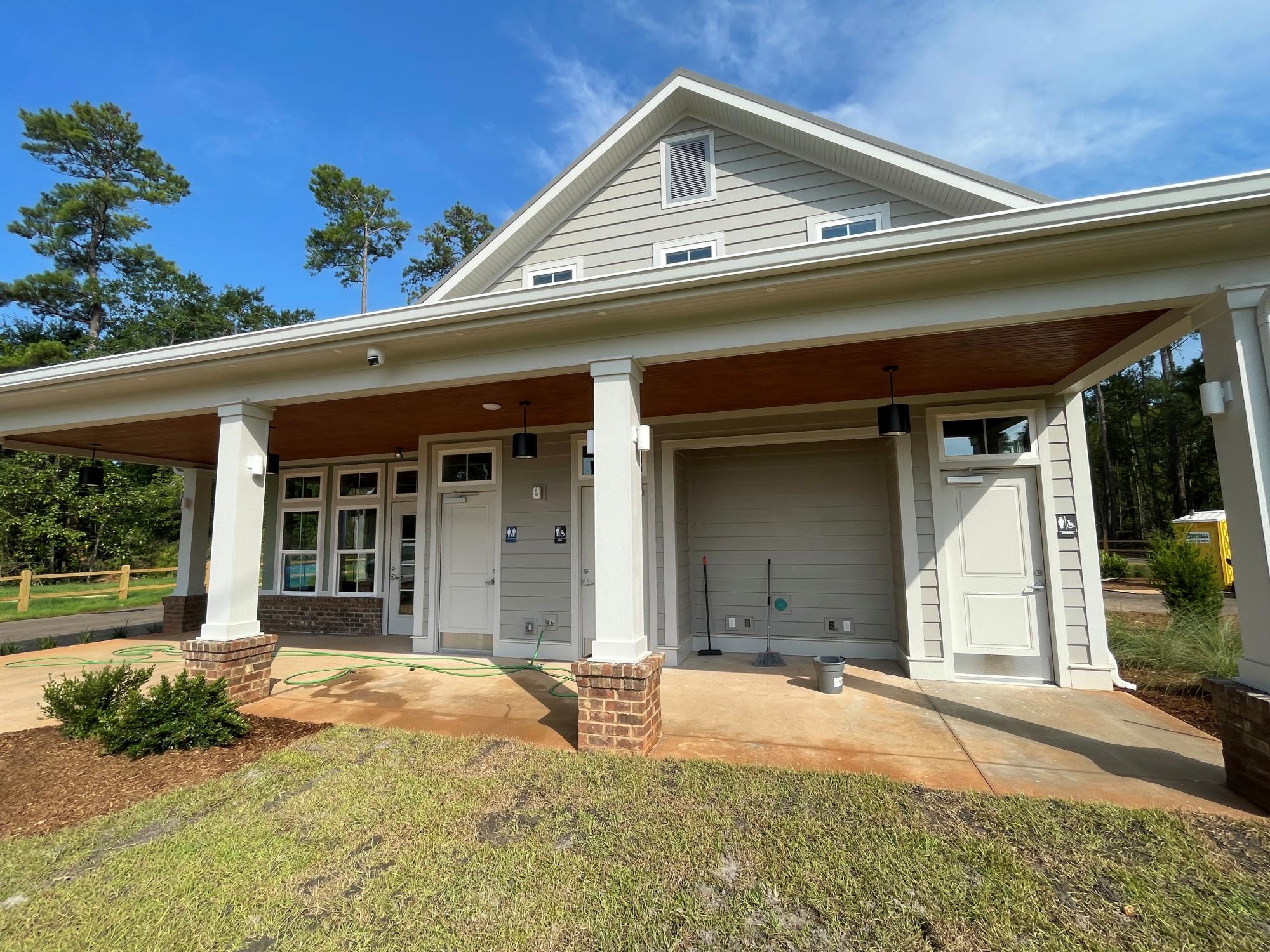
- The trail is an ADA accessible, pet and family-friendly, paved 10’ wide walkway with some elevated boardwalks. The new trailhead building located at Dreher Shoals Landing will be a welcoming gateway to the Riverwalk and includes a park office, restrooms, and paved parking. There is a $7/car daily parking fee. Annual and monthly pass options are also available.
About The Riverwalk
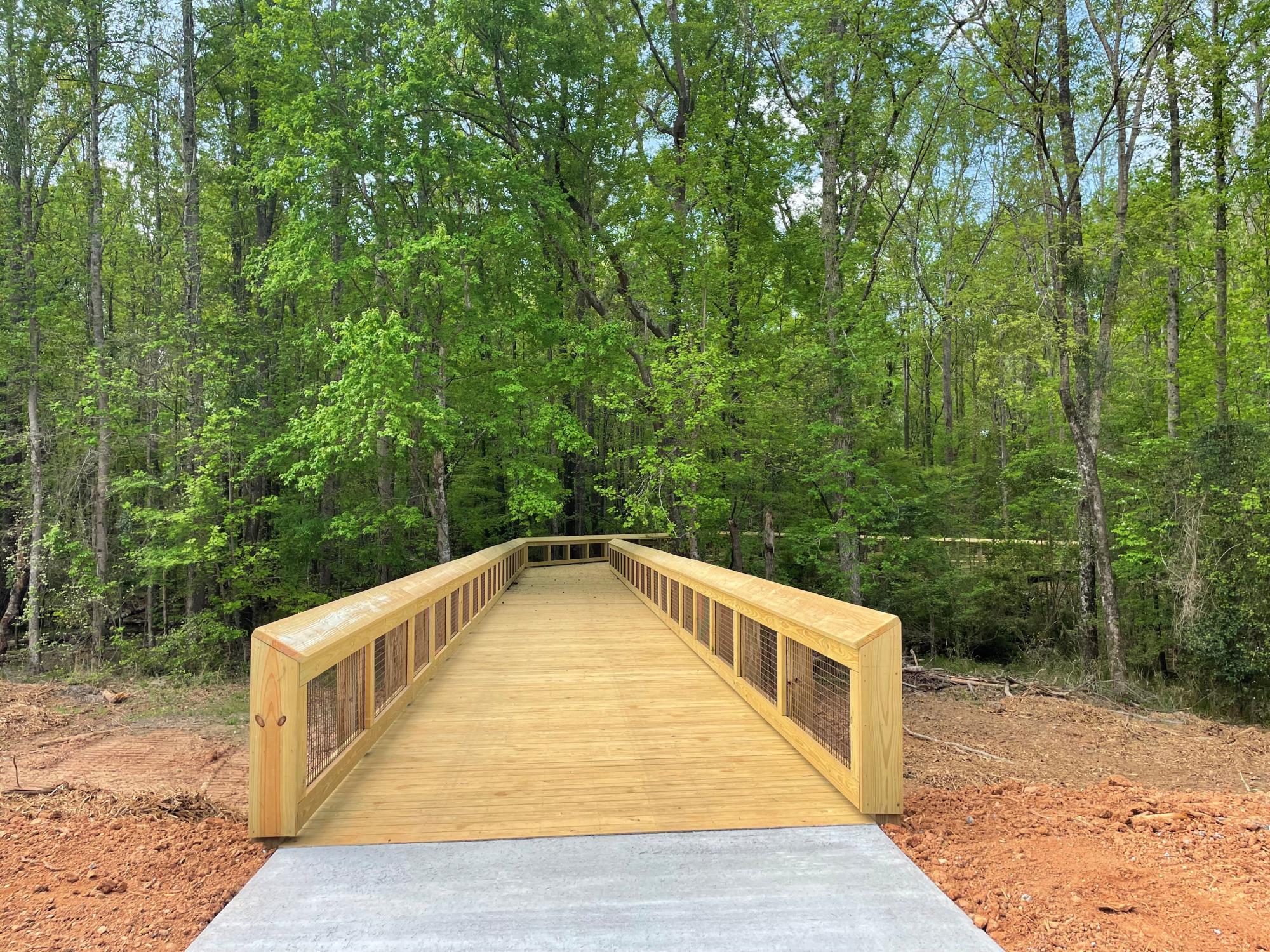
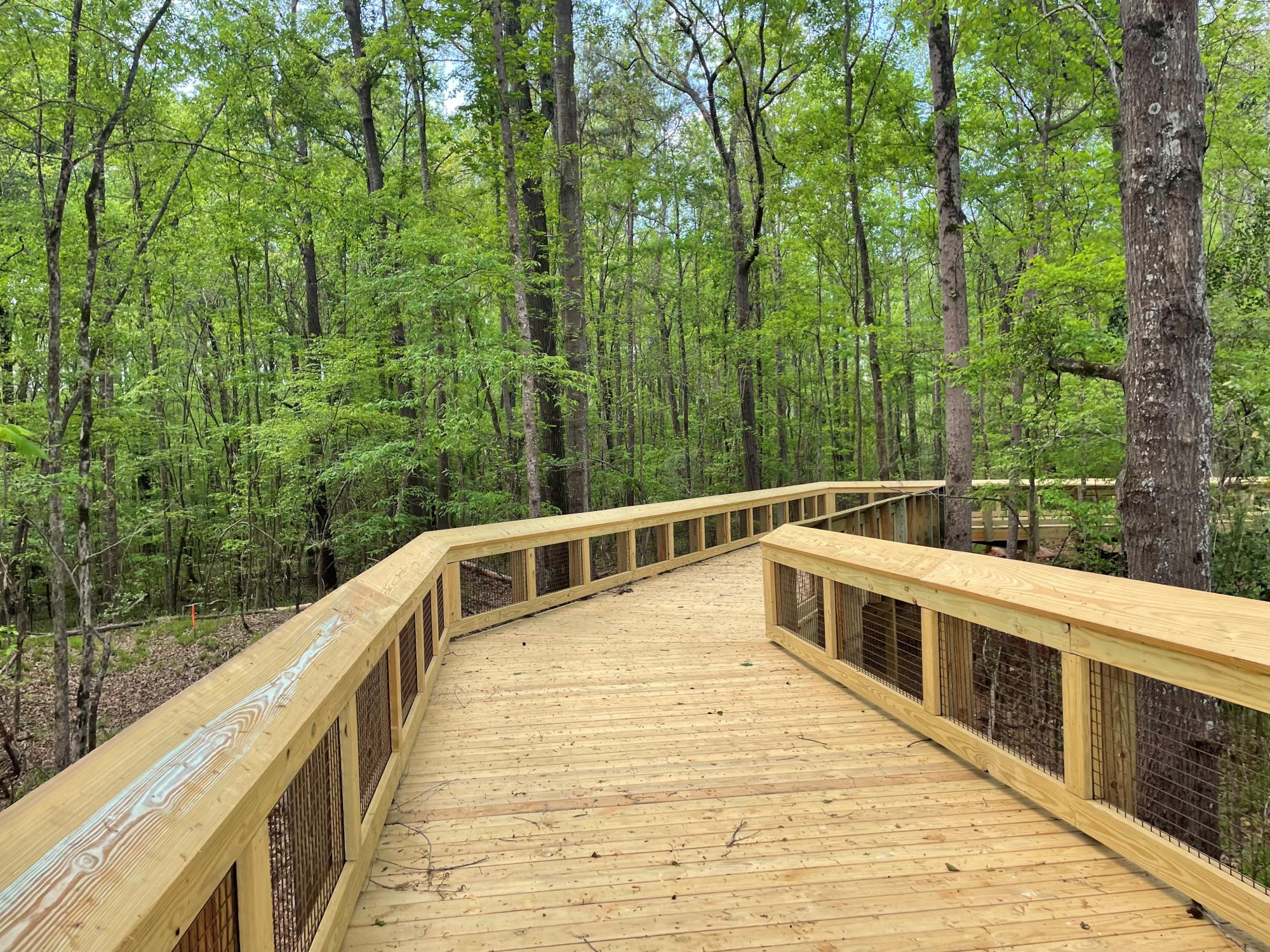
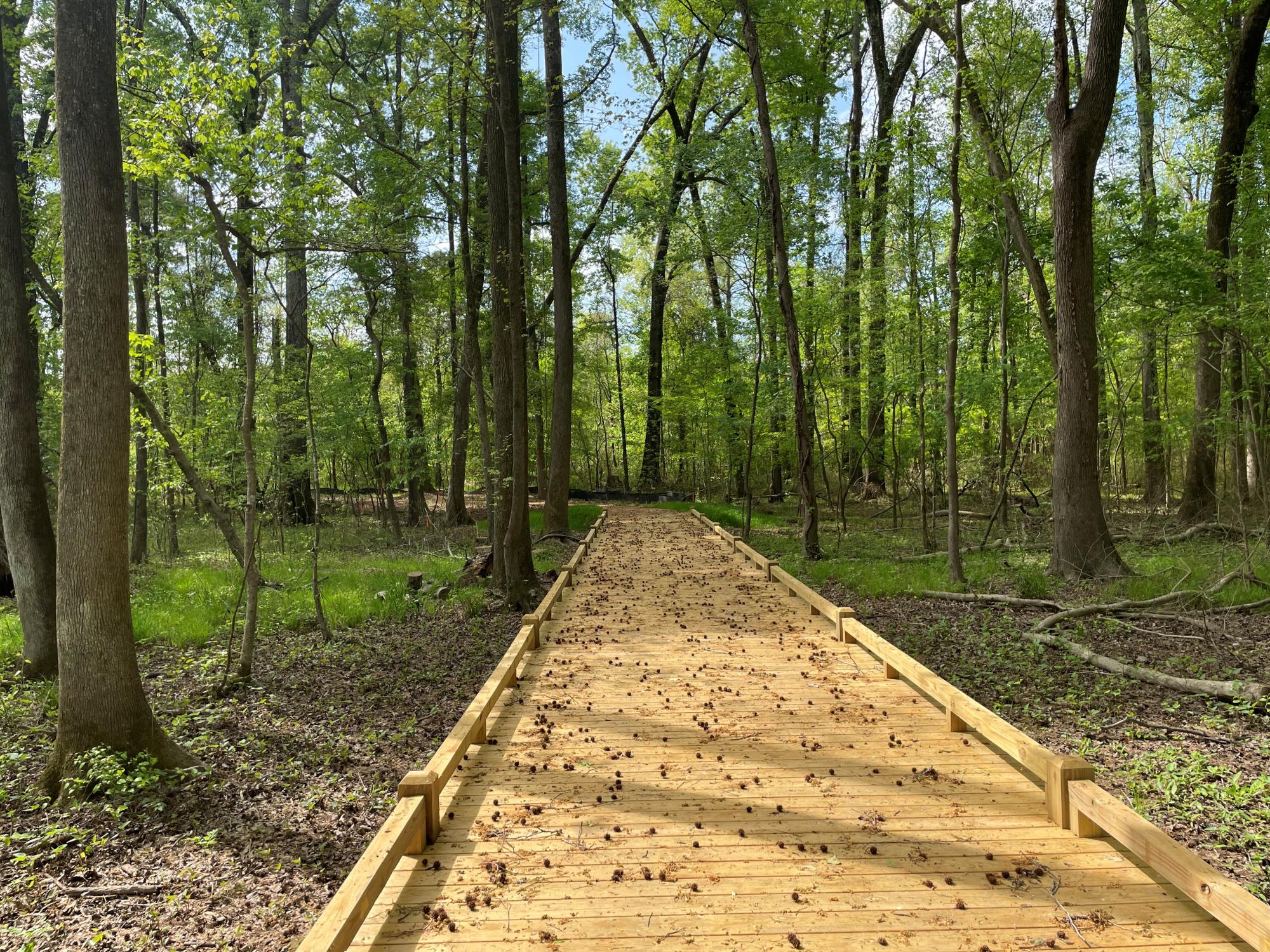
- Saluda Shoals Riverwalk visitors can enjoy walking, running, and biking along beautifully shaded trails. A scenic elevated boardwalk winds through a wooded area. Designed to connect the Lexington and Irmo communities with neighboring cities including Columbia, West Columbia, and Cayce, the Riverwalk provides access to parks, trails, and recreational destinations in the community. The trail is also a perfect place for birding and wildlife viewing.
- Once complete, the trail will run from Dreher Shoals Dam through Saluda Shoals Park to the Gardendale Landing offering approximately 8.5 miles of paved trails. Future plans include expanding the trail to connect to the Saluda Riverwalk behind Riverbanks Zoo once the Carolina Crossroads project is complete.
Parking
- Dreher Shoals Landing, 6181 Bush River Road, Columbia
- Saluda Shoals Park, 5605 Bush River Road, Columbia
- Daily Parking Fees: $7/Car or minivan; $15/12+ passenger van/Bus.
- No Trailer Parking allowed
- Monthly and annual pass options are available.
Park Passes
Pass Purchase Process
All pass purchases will be done at the Saluda Shoals Park administrative building Monday-Sunday 9:00am-5:00pm. Passes can be renewed or purchased at the park or by calling 803-772-1228.
Annual Parking Pass
This 12-month pass entitles the bearer access to Saluda Shoals Park East and West gates and Dreher Shoals Landing during regular park hours. Fee: $75 per year. Additional hang tag (limit one) is $40 per household. Your vehicle's make, model, and tag number are required for each hang tag.
Extended Pass
This 12-month pass entitles the bearer 24-hour access to Saluda Shoals Park using a coded entry system.
Fee: $100 per year. Additional hang tag (limit one) is $50 per household. Your vehicle's make, model, and tag number are required for each hang tag.
Monthly Pass
For visitors seeking greater flexibility, monthly passes will now be available. The 1-Month Park Pass allows access to Saluda Shoals Park East and West gates and Dreher Shoals Landing. The 1-Month Extended Pass is good only at Saluda Shoals Park East and West gates.
- 1-Month Park Pass: $10 per vehicle
- 1-Month Extended Park Pass: $15 per vehicle
Dreher Shoals Landing Hours (seasonal)
Monday-Sunday
- March 8-September 14 - 7:00 a.m.-8:00 p.m.
- September 15-October 31 - 7:00 a.m.-7:00 p.m.
- November 1-March 7 - 7:00 a.m.-6:00 p.m.
- Closed on Thanksgiving Day and Christmas Day.
The Saluda Shoals Riverwalk is part of the 3RVRS Trail system. Learn more here!
Planning Phase - Conceptual Plans
Lower Saluda Greenway Phase I Conceptual Design Plan
Lower Saluda Greenway Phase I Project Design (PDF, 4.35 MB)
Phase 1 & 2 Saluda Shoals Riverwalk Map (PDF, 524.6 KB)
Lower Saluda Greenway Feasibility Study
Now more than ever, the need for safe, comfortable outdoor recreation opportunities is apparent. Throughout the Midlands of South Carolina, Greenway and trail use is growing exponentially in popularity. The Central Midlands Council of Governments (CMCOG) conducted a feasibility study to provide a detailed look at how the Lower Saluda Greenway can connect with the larger Greenway network and to adjacent residential and commercial areas. The proposed trail, once constructed, will consist of a 10.5-mile multi-use, paved pathway. The path will extend along the north side of the Saluda River from the Johnny W. Jeffcoat Walkway at the Lake Murray Dam to the Three Rivers Greenway at the Riverbanks Zoo and Botanical Garden. The Greenway will provide walking, bicycling and wheeling access to many communities and surrounding amenities.
The Lower Saluda Greenway Feasibility Study further defines the Greenway's mission, purpose, and need; identified potential environmental and cultural resources that should have direct access; provided opportunities for public input; and created a concept plan and cost estimates. View the final report below.
Lower Saluda Greenway Feasibility Study Final Report
- Executive Summary (PDF, 1.36 MB)
- Appendix A - Technical Analysis (PDF, 9.07 MB)
- Appendix B - Alternative Evaluation (PDF, 5.85 MB)
- Appendix C - Opinions of Probable Costs (PDF, 1.82 MB)
- Feasibility Final Report (PDF, 4.99 MB)
View the summary video for the Lower Saluda Greenway Feasibility Study.
View the Informational Video below about the benefits of the Greenway and how it can improve the quality of life for users
View the Interactive Map - An interactive map has been created to allow participants to click on a specific area to suggest areas for trails and observe what others are suggesting.

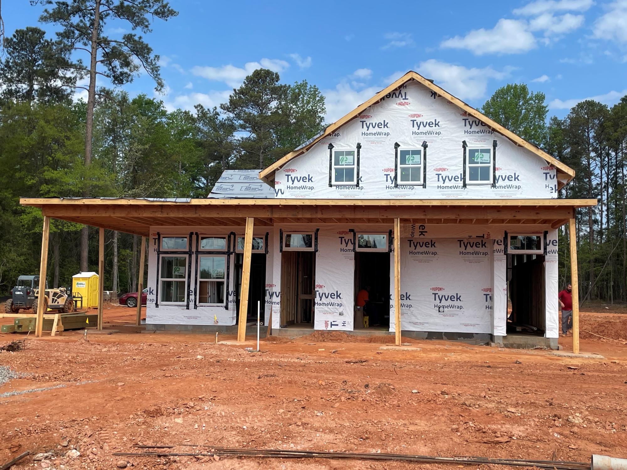
Saluda Shoals Riverwalk - Phase 1
 , opens full size image
 , opens full size image
 , opens full size image
 , opens full size image
 , opens full size image
 , opens full size image
 , opens full size image
 , opens full size image
 , opens full size image
 , opens full size image
 , opens full size image
 , opens full size image
 , opens full size image
 , opens full size image
 , opens full size image
 , opens full size image
 , opens full size image
 , opens full size image